About the project
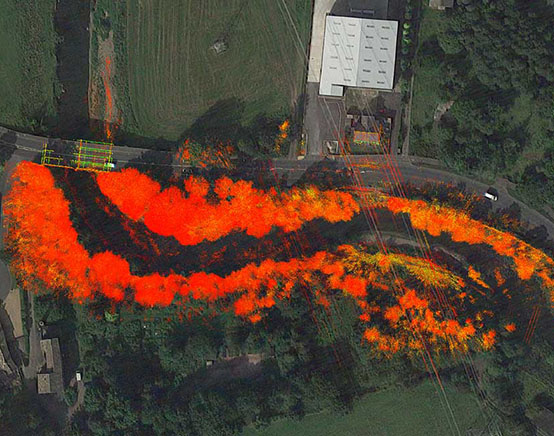
This project was a combination of several survey disciplines to be able to produce the required results. After severe flooding during winter, a large section of riverbank had been washed away and temporary flood defences installed.
The adjacent pavement and road were showing signs of movement due to the loss of the bank. Engineers were concerned that the riverbed was being scoured which could lead to more sections of the bank being undercut and washed away which could lead to major damage to the highway.
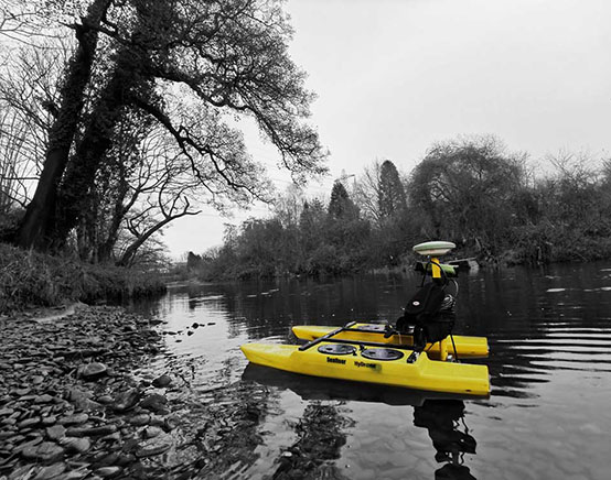
- A Hydrone boat was used equipped with sonar and GPS to survey the levels on the riverbed.
- A traditional topographical survey was carried out on the highway and pavements along the stretch of the river as well as the accessible banks
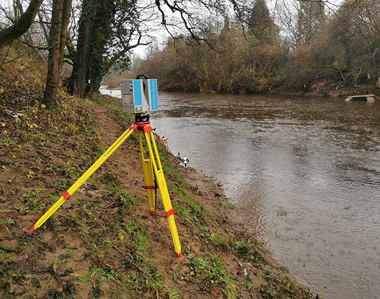
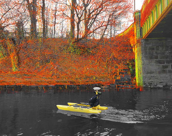
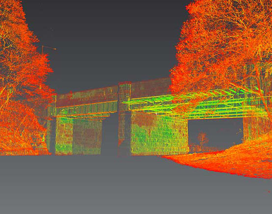
- Laser scanning was carried out where possible to scan the inaccessible areas on the opposite bank to allow accurate sections to be drawn.
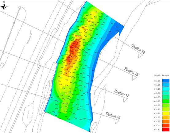
- A topographical survey was issued along with sections along the full stretch of river. Scour maps were also presented to show the area of concern.