3D laser scanning from 3D Scan Solutions
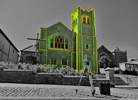
3D laser scan surveys have become the go to method for capturing geospatial information thanks to the speed, accuracy and richness of detail collected on site. At 3D Scan Solutions we have been scanning our survey projects and producing tailored deliverables to our clients for many years.
Using the very latest technology we are able to carry out a multitude of different surveys from traditional topographical and measured building surveys to complex MEP projects, retrofitting plant and machinery to level deviation reports. Our Applications page offers more insight into how 3D laser scanning can help your project.
- Point clouds are highly accurate, fully measurable data sets. The coverage of the site from multiple scan positions reduces site revisits due to the amount of data captured during the initial scan survey.
- Time savings on site due to rapid data collection. This is ideal for surveys which have a small window of opportunity.
- All the data at your fingertips as sites can be viewed and interrogated from your desk using a variety of software packages, reducing the need for time consuming site visits.
- Due to the non-contact nature of scanning, hazardous environments such as railways, highways, quarries or fire damaged buildings can be surveyed with a greater degree of safety.