Rights of Light & Scanning
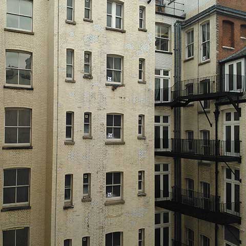
- We have a wealth of experience in carrying out laser scanning and 3D modelling for Rights of Light surveys. Our Ordnance Survey related point clouds form the basis of the 3D model which are supplemented with extensive site photography.
- By capturing the windows, apertures and massing of surrounding buildings and accurately modelling them it’s possible to calculate the effect of a planned development on the neighbouring buildings before work on site starts.