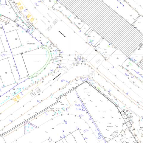
Topographical Surveys from 3D Scan Solutions
Laser scanners are extremely efficient at collecting topographical information. They can remove the need for a surveyor to access a highway as services, road markings and levels can be collected remotely and efficiently from the safety of the pavement. All data is controlled with Total Stations and coordinated with GPS to the OS grid.
- Registered point clouds are processed by our CAD team to produce both 2D and 3D topographical surveys.
- Quick, efficient and safe data collection in carriageways.
- Captures surrounding building information which can often be useful later in the project.
- We also provide traditional topographical surveys as not all sites lend themselves to scanning.