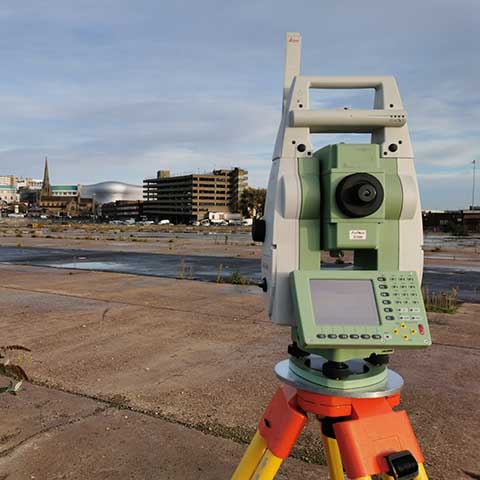
Topographical Surveys & Scanning
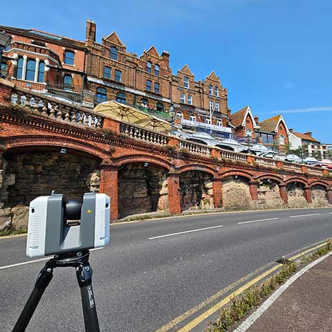
- We scan many of our topographical surveys and supplement the data with traditional methods where necessary such as areas of soft detail and vegetation. Controlled to scan targets set out from a traverse, the data capture on site is much quicker and just as accurate if not more so than traditional surveys.
- Our surveyors can scan busy roads and pick up all the features within the carriageway from the pavement or verge making data collection much safer. The detail is then drawn back in the office with our specialist software and crossed checked against detailed site photography.
- The scanners not only collect the data required for the survey area but also information surrounding the site. This information may not be needed at the beginning of the project but may become important as the project progresses. This detail can often be added at a later date without the need for another site visit.